Angeles Forest — part 3 (San Antonio falls)
After the busyness of the holiday season, I really needed to reconnect with nature. Especially since It has been raining for weeks in California and I decided not to go surfing meanwhile to avoid unnecessary risks of infection and extremely high swell.
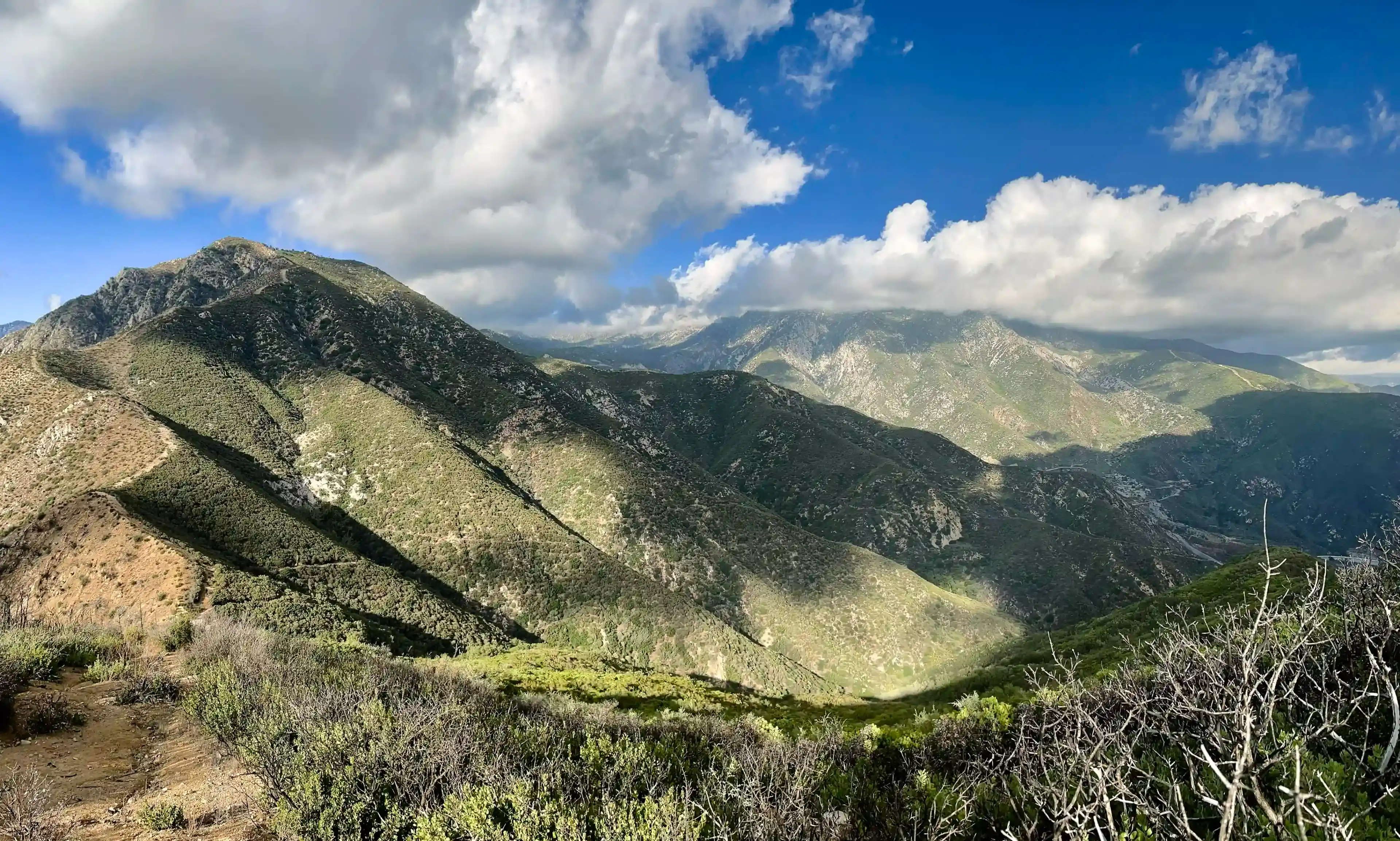
So here I am, going for a Sunday hike to San Antonio mountain (also known as Mt. Baldy). And of course there was a winter storm warning for the most part of the San Gabriel mountains.
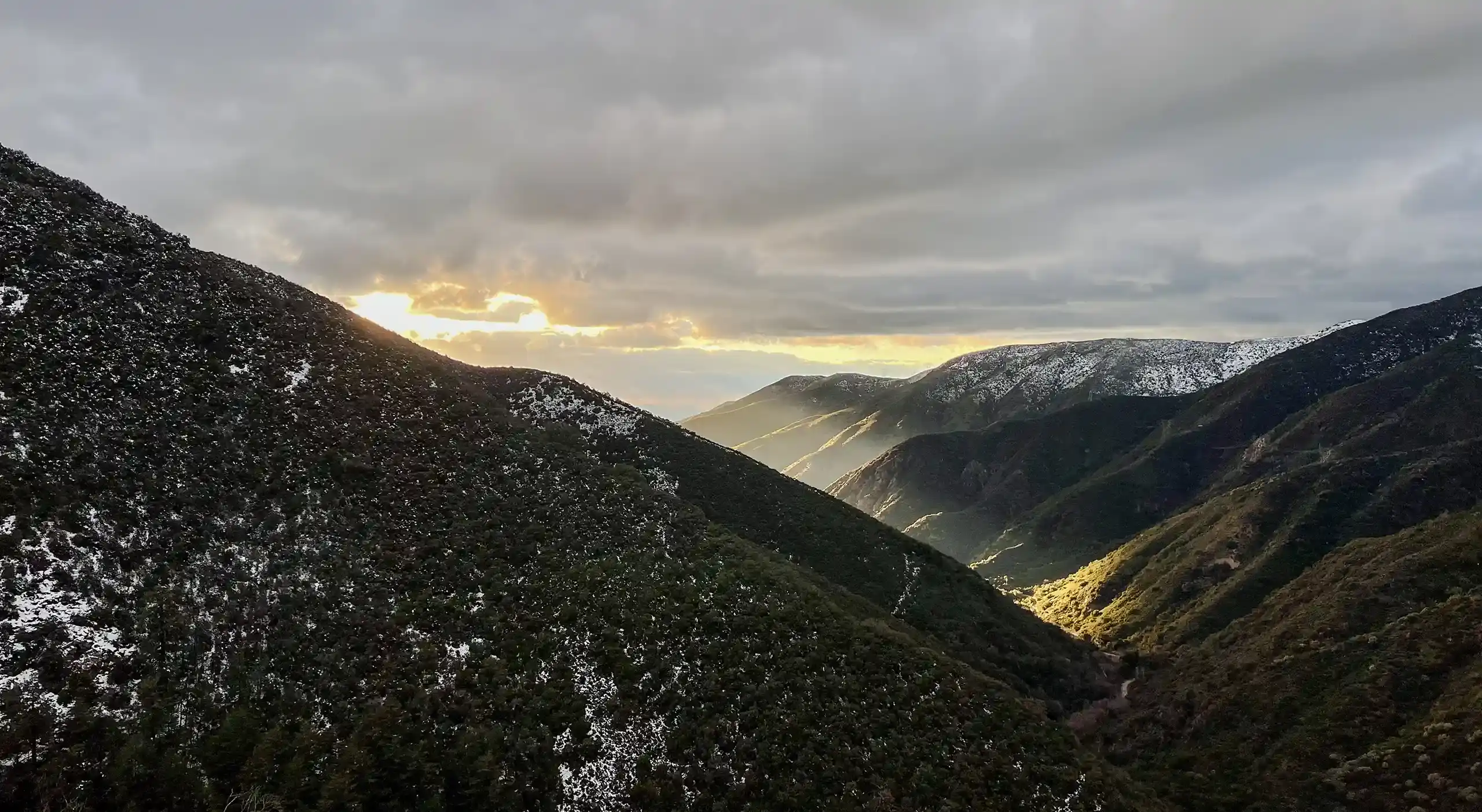
As we were driving the temperature was slowly going down from 59 to 35F at Mt. Baldy village. The elevation by the entrance to the hiking trail where we parked was around 4193ft (1278 meters) and we could already see the anticipated snow on the mountains around us and a little bit on the sides of the road.
Unfortunately the foggy weather around the mountain were hiding the views that I’ve been looking for. As we started ascending a light rain started with a mix of snow. Despite that, I was happy to be out there, enjoying every minute.
Soon after we started the hike we heard a load roar in front of us. The recent massive rains made San Antonio Falls very impressive. As we looked at it from the viewpoint, we decided to not come closer to it at that time and proceed towards the Baldy Bowl trailhead (we were still hoping to get at least to the Ski Hut that moment).
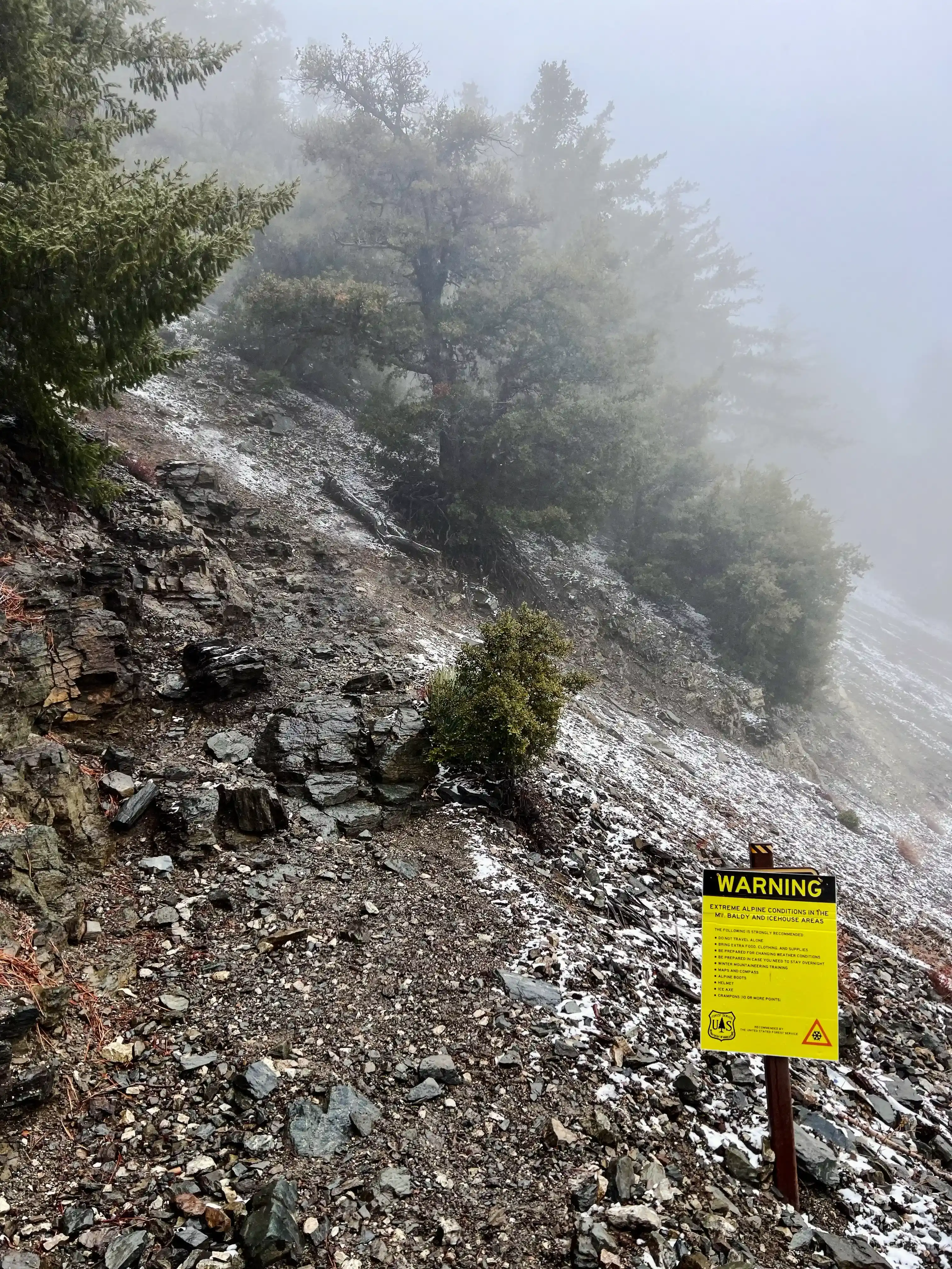
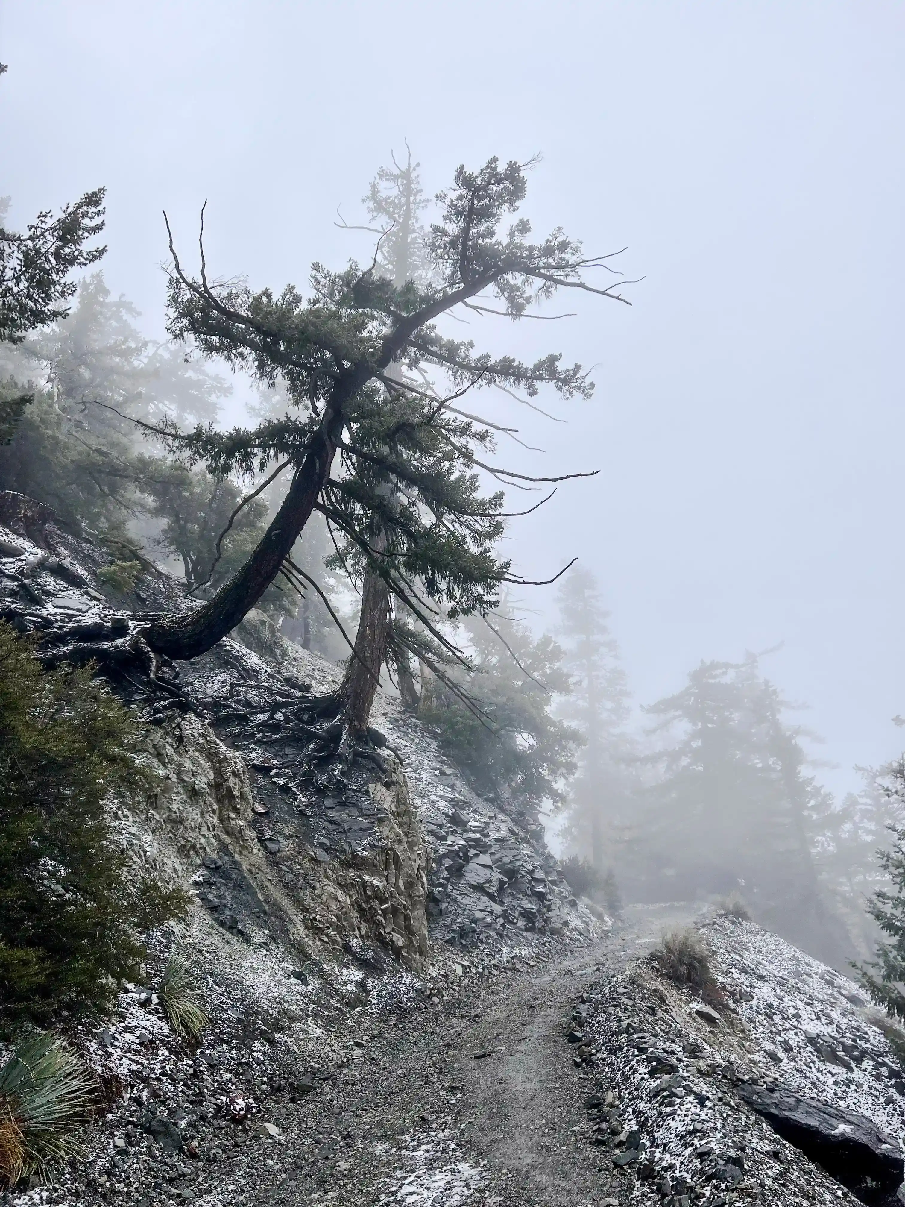
The entrance to the trail to the peak had a warning sign of extreme weather conditions at the Mt. Baldy and icehouse areas. It listed all the equipment that was recommended, such as a helmet, ice axe and alpine boots that we didn’t have. The incline on the trail was rather intense — my leg muscles were put to a stress test really fast. On top of that every 300ft the amount of snow doubled as conditions started to get worse.
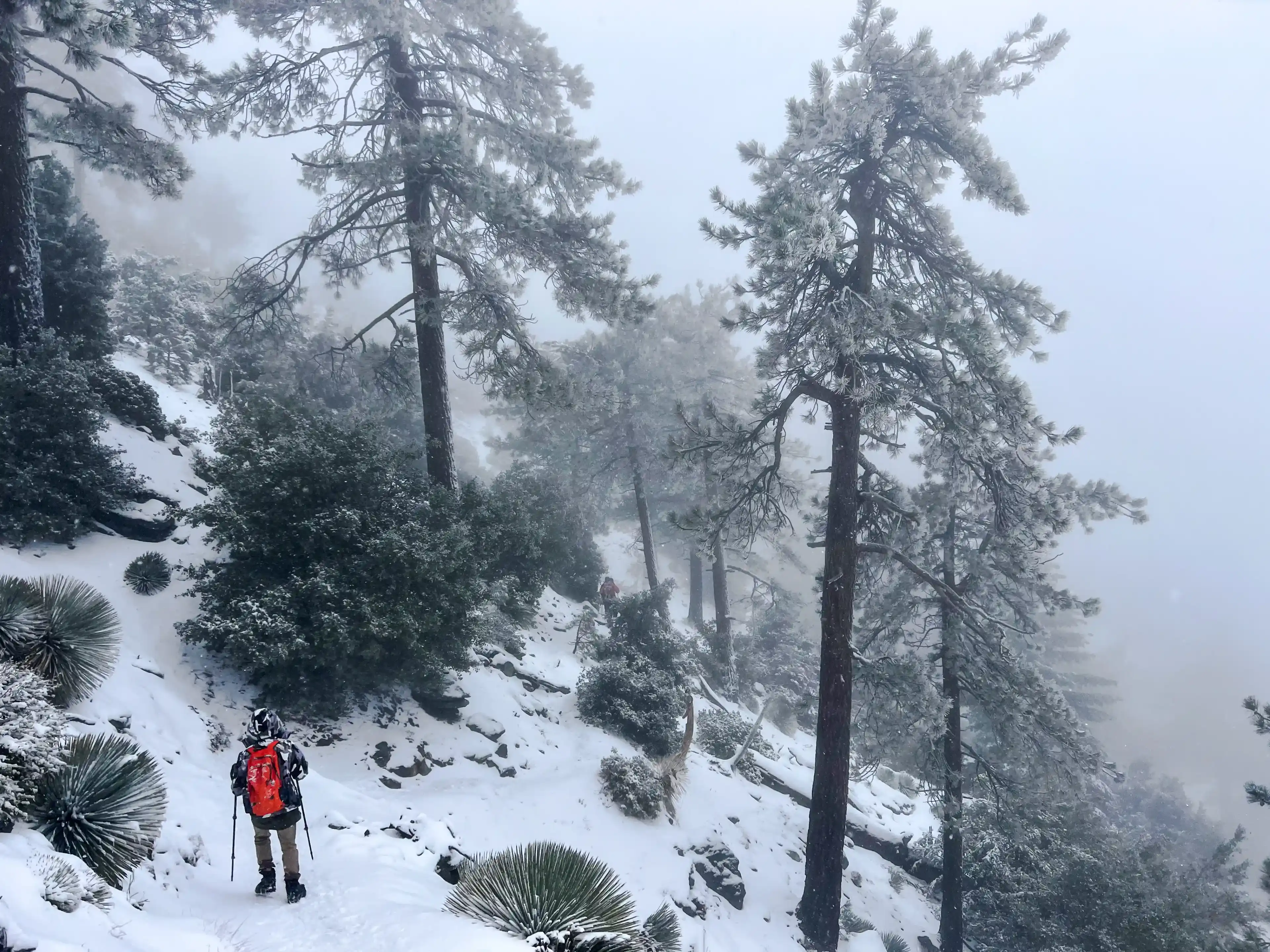
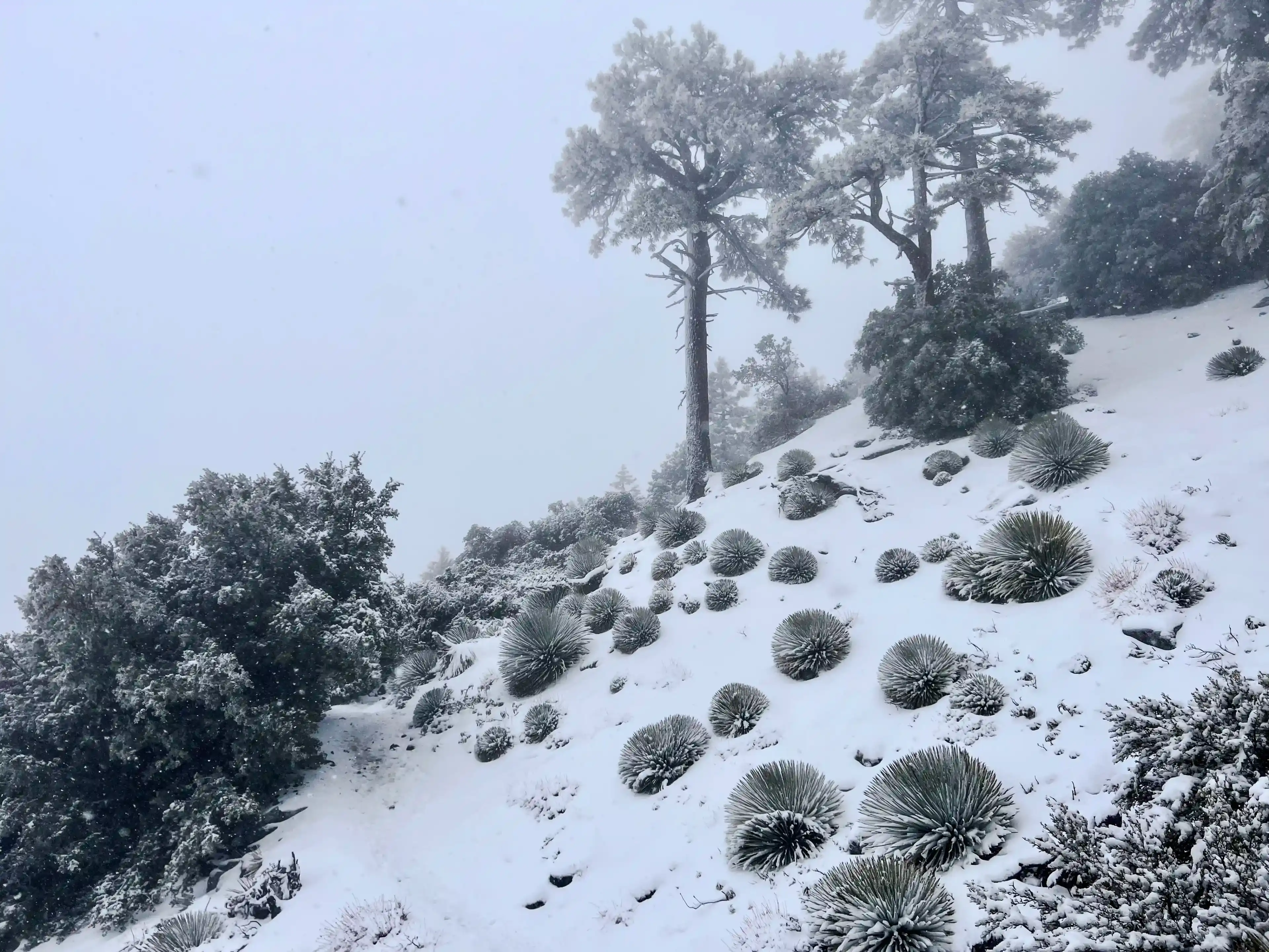
Most of the hikers we met on our way were much better equipped (probably they really followed the recommendations from the warning). One of them even suggested we should turn around immediately unless we had chains for our car. The weather kept getting worse and snowing intensified. Half way to the hut we decided to turn around and visit the waterfall on our way back instead, so we’ll have enough time before the storm hits at full strength. We took some photos of each other at the altitude of about 6500ft (2000 meters) before descending. Despite the weather conditions the pine trees on the mountain were often accompanied by yuccas, they looked like hedgehogs covered in snow.
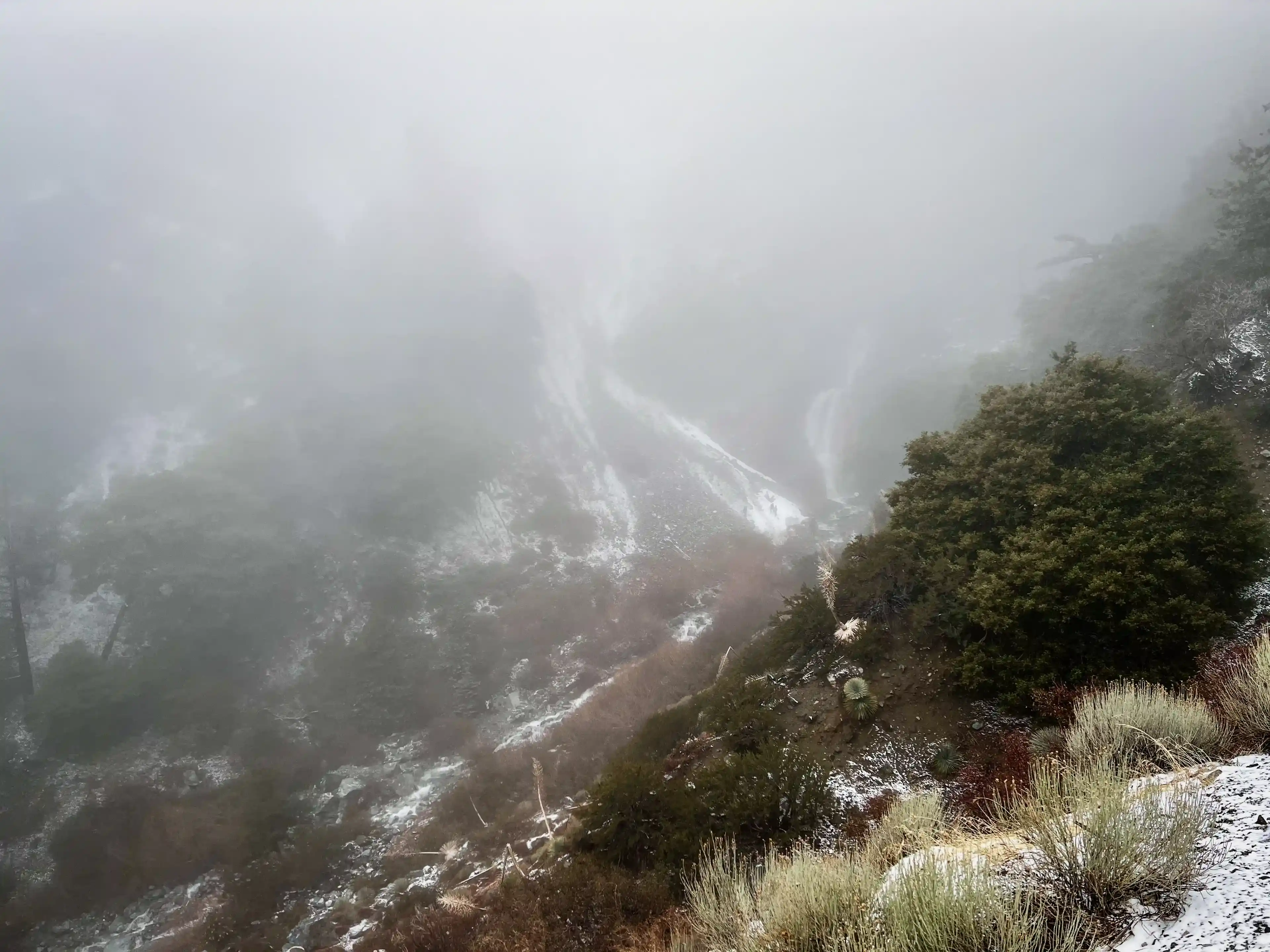
When we were coming down to the San Antonio Falls the fog got much more dense and we couldn’t see it anymore from the viewpoint. The waterfall accumulated melting water from the southern side of the mountain. It was the strongest stream of water that I’ve seen in California.
It was the last place we saw snow on the ground. I made a snowball there, that survived the 1.5 hour drive back home, as a gift for my kids.